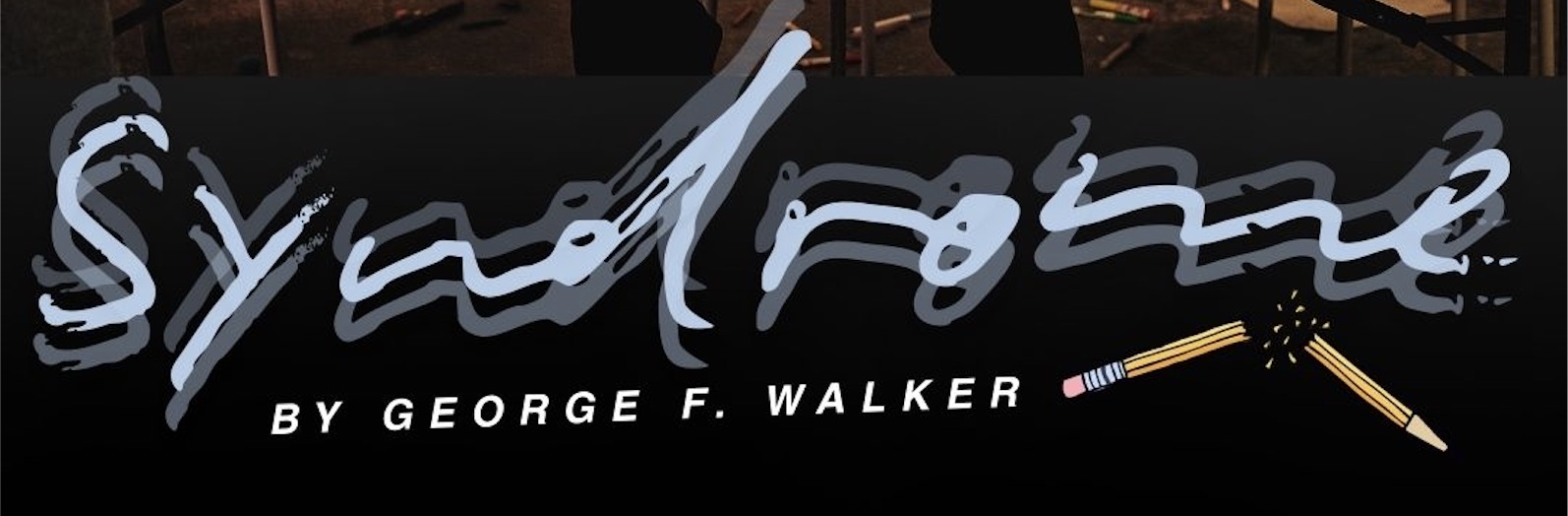
Special discount for PRA members for SYNDROME by George F. Walker at The Assembly Theatre!Limited tickets left! MUST CLOSE SUNDAYWorld […]
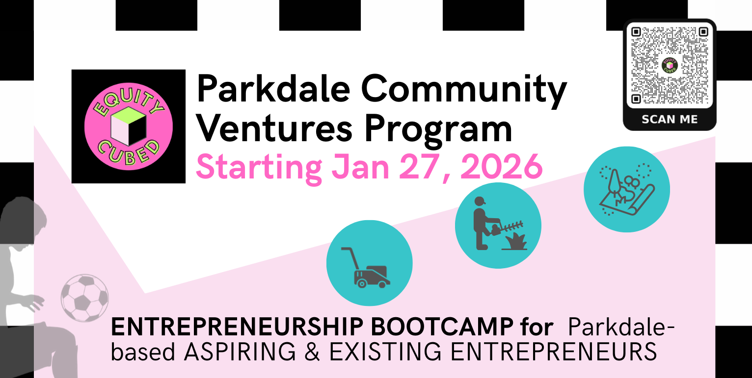
Equity Cubed’s Parkdale Community Ventures starts January 27th! This program is being offered as part of the Urban Poverty Business […]
Dear Parkdalians, As we close out 2025, the Parkdale Residents Association (PRA) would like to extend our sincere thanks for […]
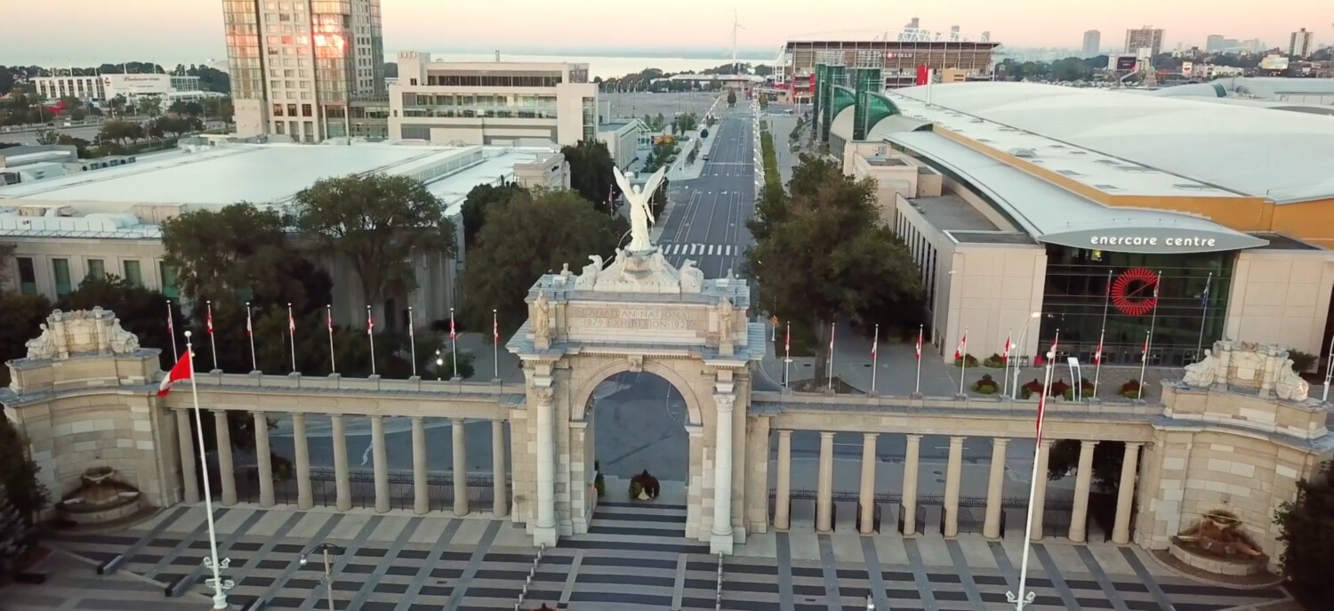
Exhibition Place is, for many people, the Canadian National Exhibition, but it also hosts many other conventions, annual and special […]
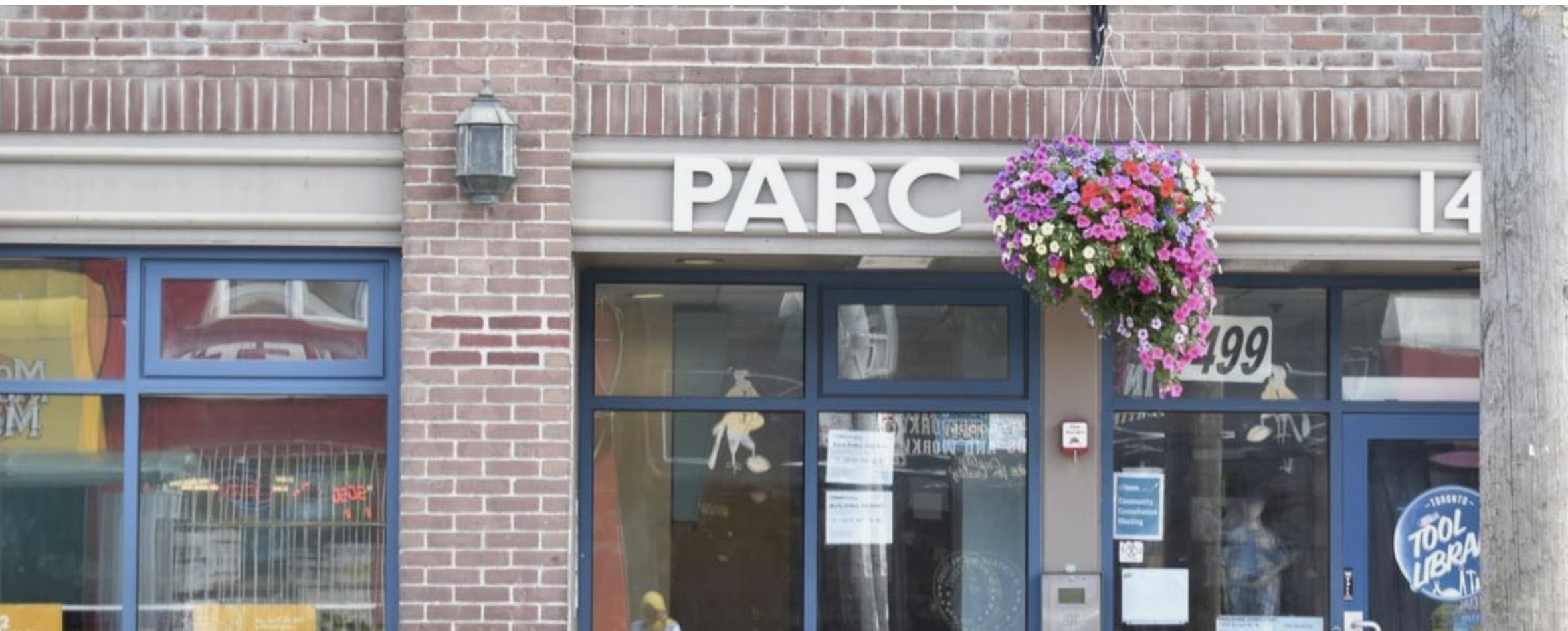
Can you join us at PARC’s Community Consultation? LOCATION: PARC Drop-in: 1499 Queen Street W., Toronto, ON. DATE AND TIME: […]
Exhibition Place has scheduled their second Community Liaison Meeting for 2025 to provide updates on Exhibition Place activities and grounds. […]
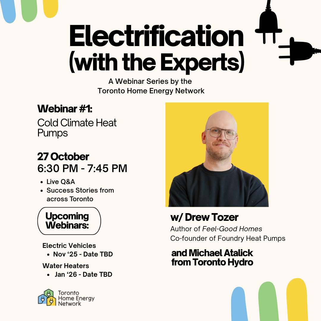
Electrification (with the Experts) – Cold Climate Heat Pumps with Drew Tozer Date & Time: Monday, October 27th 6:30 – 7:45PM Description: Modern, […]

Get ready for a spooky and out-of-this-world experience at the Parkdalien Hallowe’en Night Market – 80 Elm Grove Ave – […]
Exhibition Place has scheduled a Community Consultation Meeting. This will be the second Community Consultation to discuss the redevelopment of […]
155 & 157 Cowan Ave—two heritage homes from the 1890s—are set to be demolished after sitting vacant for over a […]


Post & News
Stay up to date with the latest insights, updates, and stories.
